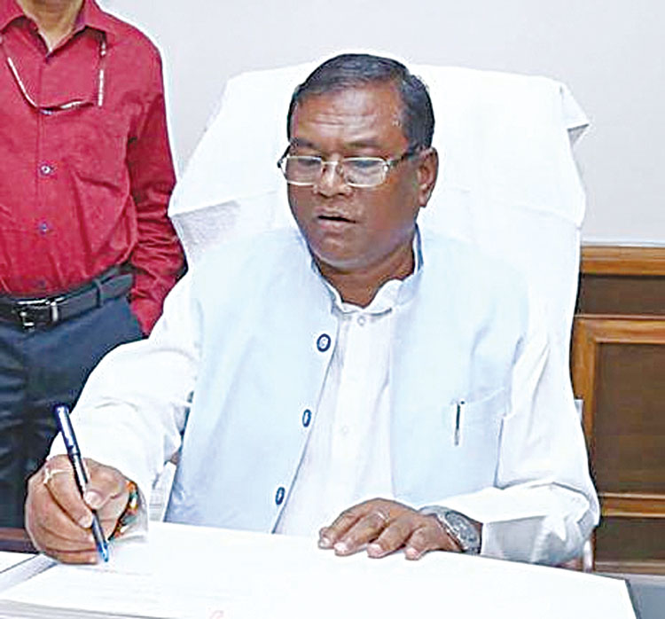
New Delhi, Nov 16 (Agency) Union Minister of State for Rural Development Faggan Singh Kulaste has said that the digitalization of land records will result in transparency and empowerment of rural India and even uneducated people of rural India can be part of the ongoing digitalization process in the country. Addressing the delegates on the second day of the Geosmart India 2022, a three-day annual event on geospatial technologies, being held at HICC here on Wedesday, eaking at the event he said, “Without land access and rights, there can be no progress in agriculture. For those who are poor and marginalized, land records are crucial. In the near future, we will finish all the land surveys, even in states with high land rights disputes.” “When land disputes arise, then we get to know the underlying complexity of agricultural lands, be it family issues, disputes, or land acquisition.
It has been witnessed that there are people who were granted land ceilings, but still, they don’t have ownership. These are some of the challenges faced by the people. With the help of geospatial, we can advance land and property management rights, improvise the records, and come up with solutions against encroachment,” he added. Narrating his experience over the years, the Union Minister stated that at the grassroots level, people are interested in these topics, but the landowner or so-called zamindari class that exerts control, while the tillers and workers from the downtrodden strata are paid a pittance. Explaining the underlying complexity of different mechanisms, he asserted that India is a land of contradictions, but the usage of geospatial is most in the land sector. Even a layman from a village is able to access digital tech today due to the sweeping IT revolution that began during PM Vajpayee. “Geospatial provides a level of transparency in land records. There are multiple stages through which ordinary people have to go, which gets irksome for the people.
Integrating geospatial technology not only imparts transparency but enables common people to avail their rights without going through an ordeal. There are lots of challenges that geospatial can help overcome”. “To prevent forgery and Benami property, there has been a centralized process and registry of all records. Digitalization has empowered the citizenry. PM Modi has constantly reiterated that land rights are the base of an Atma Nirbhar Bharat. We have attempted to make the portals multi-lingual so that there is the ease of access at all levels of the society”, he said. “In this country, the simplification of language around issues such as land, and property, which are usually laden with complexity, to remove hurdles, making citizens equal participants in social progress, and empowering them”, he said. Earlier, speaking on Land and Property Management , Hukum Singh Meena, Additional Secretary, Government of India, said that taking the digitalization process further, all the land holdings of the country would be linked to the Aadhaar of the owners.Hukum Singh also mooted that land-related disputes need to be resolved by strong legislation in a time-bound manner. He said that the objective of the whole exercise is to achieve One Nation One Software for the Registration of land. More than 60 per cent of the litigation in India is land related, he added. Over 2500 delegates from various sectors across the world are taking part in the three day conference.