
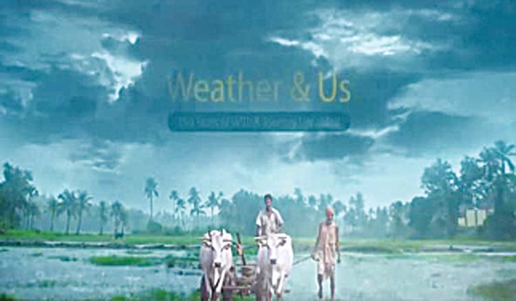
India Meteorological Department (IMD) on the 150th year of its establishment, on Monday launched the weather forecast portal ‘Panchayat Mausam Seva for farmers’ to support farmers with timely weather alerts and warnings for planning agricultural activities accordingly. “Through this portal, weather forecasts in English, Hindi and twelve regional languages will be provided to every panchayat head and panchayat secretary to reach every village of the country,” the weather department said in a statement. IMD, the Ministry of Earth Sciences, the Ministry of Panchayati Raj and Green Alert Mausam Sewa have jointly developed the Panchayat Mausam Seva Portal. This initiative will enrich every farmer in the country with weather alerts, warnings, and medium-range weather forecasts to help them in planning agricultural activities like sowing, transplantation, application of irrigation, fertilizers, pesticides, etc. It will help in reducing the input cost and crop loss due to aberrant weather, and finally increase production and income, it said.
Along with this, the department has also launched an integrated GIS-based interactive mobile app “MAUSAM” for all weather-related services like current weather, forecast every hour to 7 days, Rainfall, Humidity, Sunrise/Sunset, Moonrise/Moonset, Rain Alert, Lightning Alert, Cyclone Alert, Aviation and Agro-Meteorological advisories. The app supports 12 Indian languages for varied users in India. “This app allows the public to view observations, forecasts, and warnings for their location through a map or search function using place names, pin codes, or coordinates. Forecasts and warnings are disseminated in text and graphics format on this mobile App. This platform empowers the common person to access detailed weather forecasts for their chosen location with a simple click on the map including the oceanic area, the IMD said. “The forecasts are available on an hourly, 3-hourly, and 6-hourly basis up to the next 10 days, covering crucial weather parameters such as rainfall, temperature, humidity, wind speed, and cloud cover,” it said. The “mausamgram” app is available on the IMD Website and it can be accessed through the following link (https://mausamgram.imd.gov.in). The IMD also introduced the National Framework of Climate Services saying, “Weather and climate influence our lives and livelihood.”
Under this framework, the department prepares the climatology of basic meteorological parameters like rainfall, temperature, wind and pressure and the climate extremes like heat waves, cold waves, thunderstorms, cyclones, depressions, lows, heavy rainfall etc. It is being updated every 10 years. IMD has digitised all observational data since 1901. “In 2021, the India Meteorological Department introduced a visualization tool for the public to observe different climate parameters, extremes, climate hazards and vulnerability maps for severe weather events. It provides climate forecast for each month and season based on the dynamical multi-model ensemble climate forecast system since 2021,” the IMD said. With all these developments climate services in the country multiplied with special emphasis on agriculture, hydrology, disaster risk reduction, health and energy. While we have achieved significantly, we have to improve climate applications further with the implementation of NFCS to enable every individual and organisation to be climate-smart and hence improve the economy of the country, it added.
The department has also developed the in-house Web-GIS-based integrated Decision Support System (DSS) known as the Weather Analysis and Forecast Enabling System (WAFES), inspired by Pancha Mahabhuta i.e. Water, Air, Fire, Earth and Sky. The WAFES serves as a visualization platform to analyze meteorological observations and prediction models, aiding decision-making for severe weather phenomena and their socio-economic impact. The DSS includes the Meteorological Information Communication System (MICS), Data Information Processing System (DIPS), Synthesized Integrated Visualization System (SIVS), and Public Weather Information System (PWIS). It incorporates specialized modules for severe weather events and utility tools for visualization, analysis, and response actions based on IMD’s early warnings. It provides real-time information for various sectors such as Urban, Power, Hydrology, Health, Energy, Agriculture, Transport and Tourism under the “UPHHEATT” initiative (for the cause of welfare), the IMD said.